 |
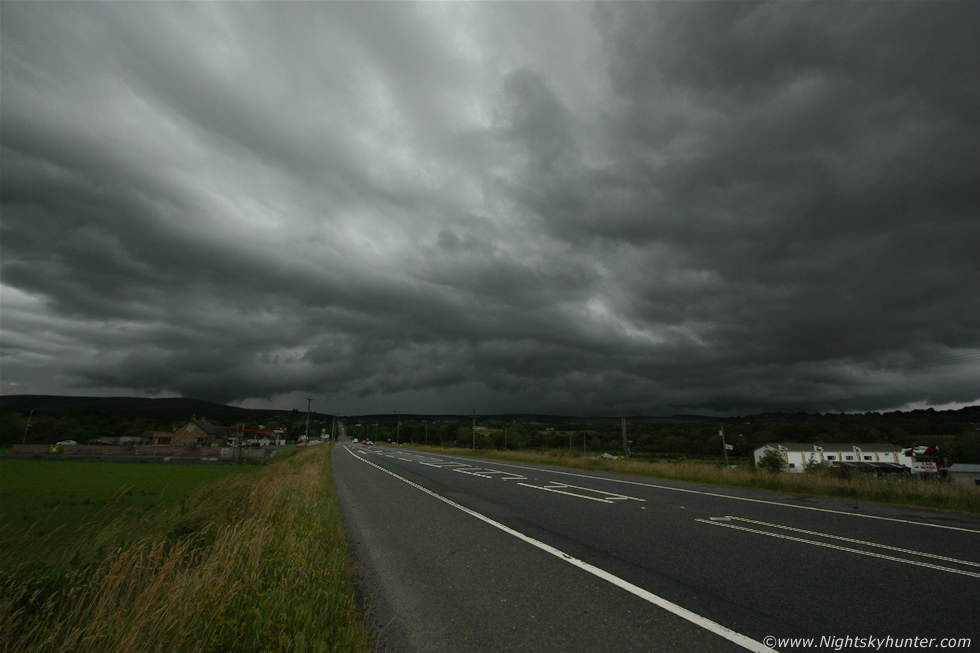
July 25th 2013, severe thunderstorm at 10mm ultra wide angle from Glenshane Pass, here's the storm in front of us, moving L to R over the mountains with mid level cloud covering any view of the updraught or anvil however you can see the strong precip area and the green colour was picked up with the camera too, that really was a tasty core out there and the radar showed it was still white which was shocking, this core had now been at the top of the scale for several hours and was still going, there was no question that this was a severe thunderstorm, those kind of signatures for such long duration were a classic sign of organisation and hence severity. There where episodic ropey scud suckers hanging from the back of the core at times and the core would flash from internal lightning and funnel cloud reports would come in later from the NW part of the country behind that core so there was major stuff going on, read the report for more information. * All images are available for sale in the form of photo prints, canvas or digital files for licensing, if you are interested in a purchase simply drop me an email.